Log in
Email
Password
Register
Menu
Explore
Newest photos
Popular photos
Contribute
Submission guidelines
Photographer signup
Photographer login
About
About Freerange
Image license
API
Contact us
Support
Contact support
FAQ
Login
Login
Register
Search all
Photos
Illustrations
Match All
Match Photo ID
Newest
Popular
Select Category
AI Generated
CC0 Images
Editorial and News
Animals & Insects
Architecture
Architectural Details
Arts & Music
Backgrounds & Textures
Cities and Modern Life
Business & Office
Flowers and Plants
France
Food & Drink
Holidays & Occasions
Health and Fitness
Landmarks
Interiors
Illustrations
Industry & Agriculture
Landscapes & Nature
Letters and Numbers
Objects
Other
Military
People
Signs & Symbols
Sky and Clouds
Space
Sports & Recreation
Technology
Wallpapers
Free Stock Images
Sponsored images from Shutterstock
View footage results
Click to save 15% sitewide with code
FREERANGE15OFF
View More
15 free political map photos from Freerange
Filter results
Popular
Most Viewed
Newest Photos
All licenses
Freerange
CC0
Photos & Illustrations
Photos
Illustrations
Per Page
25
50
100
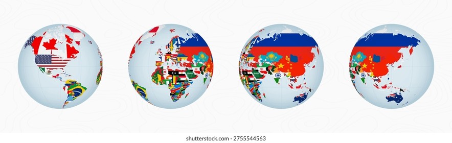
World flag
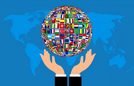
Illustration of globe - world of flags in open hands
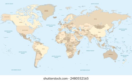
Detailed World Map on Dark Green Background
A detailed world map displayed over a dark green background, showcasing continents, countries, and oceans in clear contrast. The map is informative and easy to read, providing a comprehensive view of global geography.
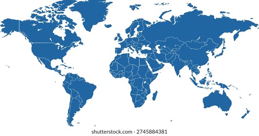
World Map on Dark Blue Background
A world map is prominently displayed in the center of a dark blue background. The map features countries, continents, and oceans, providing a clear overview of the Earths geography.
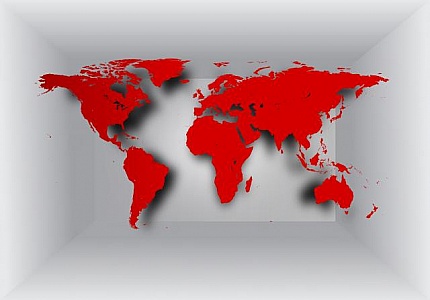
World map on 3D background
World map on 3D background
Alaska highlighted on a globe along with surrounding areas.
This image focuses on Alaska as highlighted on a globe, showing its location, cities such as Fairbanks and Anchorage, and neighboring Canadian regions, emphasizing detailed cartography.
Colorful South African continent with major cities labeled.
The globe image highlights Africa with a focus on South Africa, displaying a colorful representation of national boundaries, names of countries, major cities, and surrounding regions.
world news
Illustration of the front page of a newspaper, showing world news
Map focus on Middle Eastern and European regions.
The globe features a detailed look at Middle Eastern and European regions, highlighting countries such as Turkey, Saudi Arabia, and surrounding territories, showing city names and boundaries.
Vintage map focusing on Yugoslavia and surrounding regions.
A vintage map centered on Yugoslavia and its neighboring countries, showcasing historical boundaries and locations with intricate detailing and nostalgic charm.
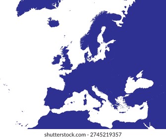
European regions highlighted showing France and Spain.
The globe image zooms in on European regions with a focus on France, Spain, and neighboring countries, showing city names, visible boundaries, and detailed cartographic style.
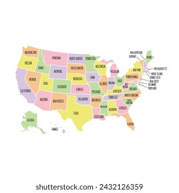
Detailed North American region with state and city names.
This image of a globe pinpoints North America, detailing the United States with state boundaries, and includes Canadian regions and cities, emphasizing a detailed cartographic view.
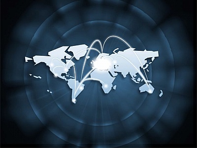
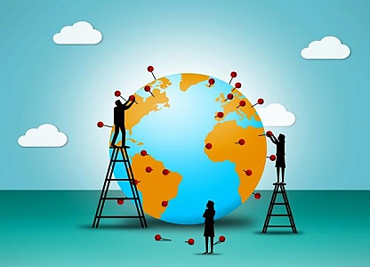
Placing pushpins on the Globe - Globalization and worldwide comm
Placing pushpins on the Globe - Globalization and worldwide commerce concept
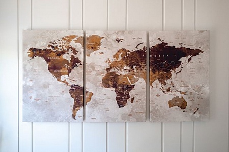
Three world map wall art canvases
A collection of three stylish world map canvases displayed on a white wall, illustrating detailed cartography in a modern artistic way
Vintage globe highlighting North America and Canada map.
A vintage globe centered on North America and Canada, showing detailed political borders, states, and provinces, depicted with historical and geographical accuracy.
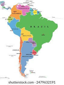
Close-up of Argentina on a globe, detailed and colorful.
A detailed close-up view of a globe highlighting the country of Argentina in South America with surrounding countries also visible, emphasizing geographical details.
Find even more royalty free stock photos from the world's best photographers
View
of
1
Try your search on Shutterstock: