Log in
Email
Password
Register
Menu
Explore
Newest photos
Popular photos
Contribute
Submission guidelines
Photographer signup
Photographer login
About
About Freerange
Image license
API
Contact us
Support
Contact support
FAQ
Login
Login
Register
Search all
Photos
Illustrations
Match All
Match Photo ID
Newest
Popular
Select Category
AI Generated
CC0 Images
Editorial and News
Animals & Insects
Architecture
Architectural Details
Arts & Music
Backgrounds & Textures
Cities and Modern Life
Business & Office
Flowers and Plants
France
Food & Drink
Holidays & Occasions
Health and Fitness
Landmarks
Interiors
Illustrations
Industry & Agriculture
Landscapes & Nature
Letters and Numbers
Objects
Other
Military
People
Signs & Symbols
Sky and Clouds
Space
Sports & Recreation
Technology
Wallpapers
Free Stock Images
Sponsored images from Shutterstock
View footage results
Click to save 15% sitewide with code
FREERANGE15OFF
View More
28 free mapping photos from Freerange
Filter results
Popular
Most Viewed
Newest Photos
All licenses
Freerange
CC0
Photos & Illustrations
Photos
Illustrations
Per Page
25
50
100
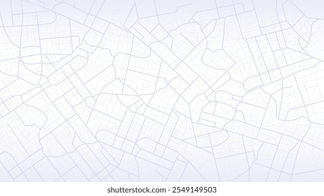
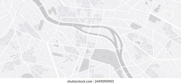
Aerial view of dense urban cityscape
Overhead image showing a city s dense layout with numerous buildings and streets packed together
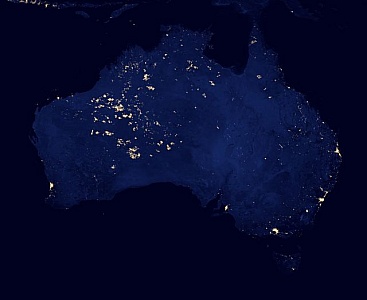
Satellite Image of Australia at Night
The satellite captures Australia at night, showcasing the illuminated urban areas and highways stretching across the vast continent. Cities glow brightly amidst the darkness, highlighting the countrys population centers and infrastructure.
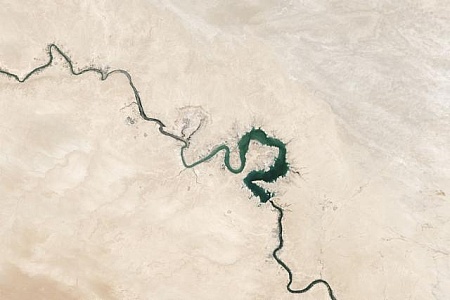
Satellite Image of a River in the Desert
A satellite image showing a river cutting through the barren landscape of a desert, providing a vital source of water in an otherwise arid environment. The river appears as a thin ribbon of blue amidst the vast expanse of sand and rock.
Bus Gps Means Public Transport And Buses
Bus Gps Showing Location Direction And Distance
Cloud Computing Financial Management and Financial Operations -
Cloud Computing Financial Management and Financial Operations - FinOps - Illustration
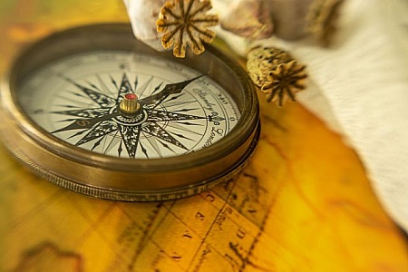
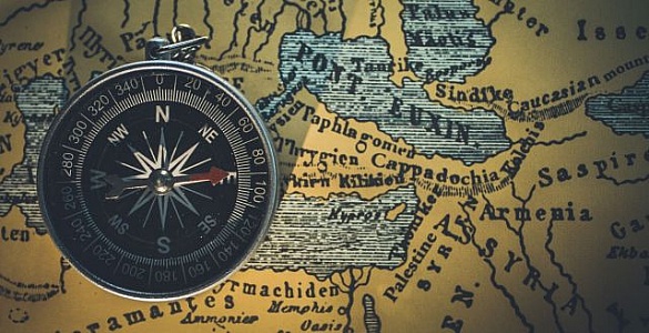
Antique compass with star design on vintage map texture
An antique compass with an intricate star design lies on a vintage map, symbolizing exploration, adventure, and discovery in a blend of soft, warm tones.
The Big Data deluge - A businessman tries to crunch the numbers
The Big Data deluge - A businessman tries to crunch the numbers at his desk
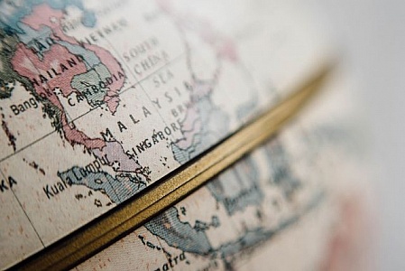
Close-up of a vintage world map focused on Asia
Detailed image focusing on the Asian continent on an antique-styled world map
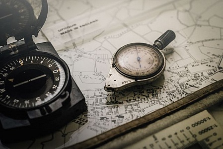
A compass and a map
A lone adventurer navigates the winding halls of an old mansion, relying on a compass and a map to guide them through the maze of time, with a watch as their faithful companion
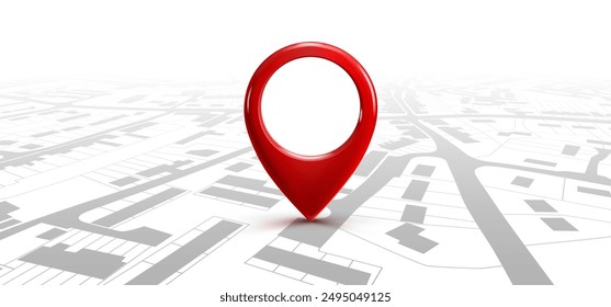
Compass on Top of Map
A compass is placed on a map, indicating direction and orientation. The map features various geographic details like landmasses, water bodies, and landmarks. The compass needle aligns with cardinal directions, aiding in navigation and exploration.
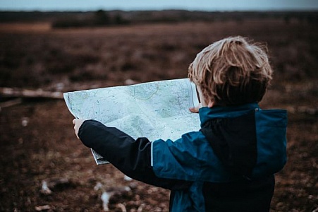
Young Boy Studying Map in Field
A young boy stands in a field, intently studying a map in his hands. The sun shines down on him as he navigates his way through the greenery around him.
Black pen and ruler on a detailed architectural blueprint draft.
A close-up image showcases a pen and a ruler placed on a detailed architectural blueprint draft. The precise lines and measurements highlight the intricacies and meticulous planning involved in architectural design.
Blue digital globe with interconnected light dots
This image depicts a blue digital globe made of interconnected light dots, symbolizing global connectivity and communication.
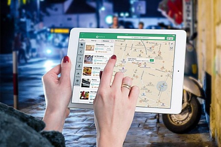
Navigation on a mobile tablet computer
Finding directions on a navigation app on a tablet computer
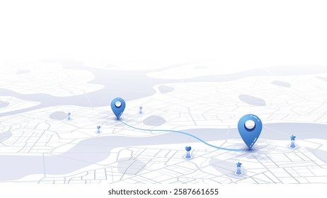
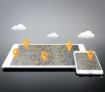
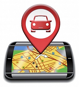
Location Markers on Devices - GPS and Navigation
Location Markers on Devices - GPS and Navigation
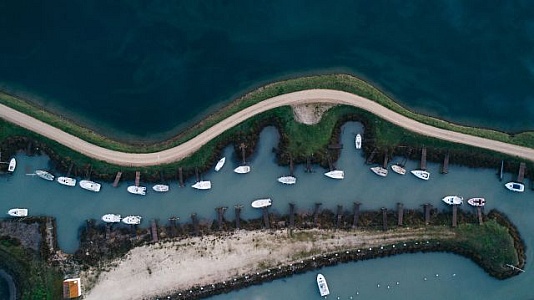
Aerial view of boats docked in a curving waterway.
An aerial shot capturing a curving waterway with numerous boats docked along the edges, showcasing the beauty and organization of a serene marina setting surrounded by lush land.
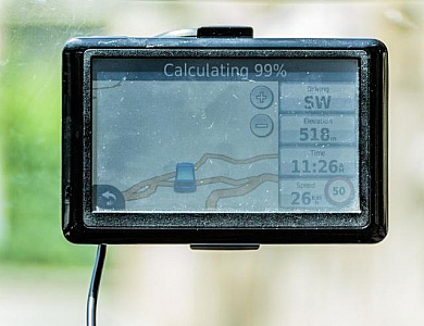
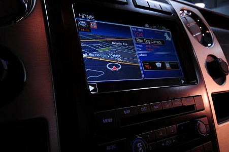
Car GPS
Automotive navigation system attached to car windshield
Detailed North American region with state and city names.
This image of a globe pinpoints North America, detailing the United States with state boundaries, and includes Canadian regions and cities, emphasizing a detailed cartographic view.
Photography and travel gear on a table
A creative display of photography equipment, a drone, and travel essentials on a rustic table
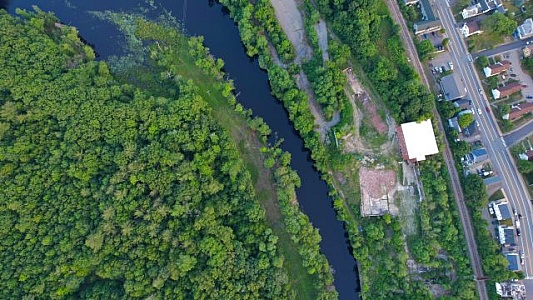
Aerial view of river winding through greenery
A striking top-down aerial perspective of a river meandering through lush greenery with adjacent roads and buildings providing urban contrast
Aerial view of fields and roads creating a cross shape.
High-angle shot of vividly colored agricultural fields intersected by roads forming a cross, showcasing the geometric beauty of rural landscapes.
Mobile GPS Navigation and Apps - Travel and Tourism Concept
Mobile GPS Navigation and Apps - Travel and Tourism Concept
Navigation system
The screen of a GPS navigation system with half of the screen dedicated to music and weather information.
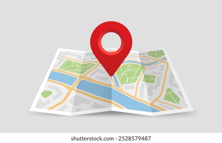
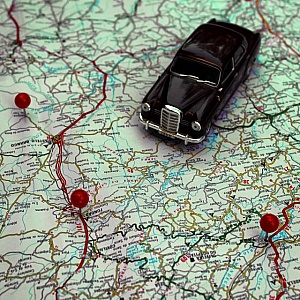
Miniature car and pushpins on a map - Travel concept
Miniature car and pushpins on a map - Travel concept
Application Data Storage Concept - Illustration
Application Data Storage Concept - Illustration
Car Gps Indicates Navigation Auto And Automobile
Car Gps Showing Automotive Drive And Navigation
sharing location
Illustration of sharing location on mobile device mapping application with social network or individual.
Unknown Territory - Rising Star Over Alien Land - Exploration Co
Unknown Territory - Rising Star Over Alien Land - Exploration Concept
Find even more royalty free stock photos from the world's best photographers
View
of
1
Try your search on Shutterstock: