Log in
Email
Password
Register
Menu
Explore
Newest photos
Popular photos
Contribute
Submission guidelines
Photographer signup
Photographer login
About
About Freerange
Image license
API
Contact us
Support
Contact support
FAQ
Login
Login
Register
Search all
Photos
Illustrations
Match All
Match Photo ID
Newest
Popular
Select Category
AI Generated
CC0 Images
Editorial and News
Animals & Insects
Architecture
Architectural Details
Arts & Music
Backgrounds & Textures
Cities and Modern Life
Business & Office
Flowers and Plants
France
Food & Drink
Holidays & Occasions
Health and Fitness
Landmarks
Interiors
Illustrations
Industry & Agriculture
Landscapes & Nature
Letters and Numbers
Objects
Other
Military
People
Signs & Symbols
Sky and Clouds
Space
Sports & Recreation
Technology
Wallpapers
Free Stock Images
Sponsored images from Shutterstock
View footage results
Click to save 15% sitewide with code
FREERANGE15OFF
View More
38 free geographical map photos from Freerange
Filter results
Popular
Most Viewed
Newest Photos
All licenses
Freerange
CC0
Photos & Illustrations
Photos
Illustrations
Per Page
25
50
100
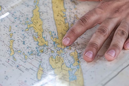
Exploring maps with a fingertip
A close-up of a hand pointing at a specific location on a detailed nautical map
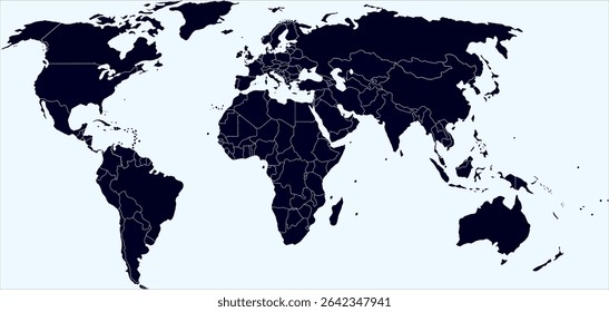
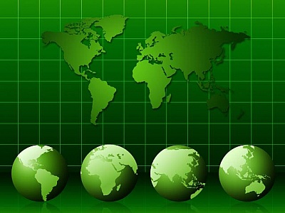
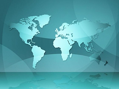
World Map on Dark Blue Background
A world map is prominently displayed in the center of a dark blue background. The map features countries, continents, and oceans, providing a clear overview of the Earths geography.
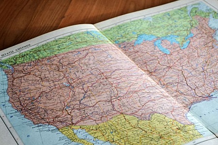
Detailed map of the United States of America on paper.
A detailed paper map of the United States is spread out on a surface, highlighting various states, geographical features and road networks, ideal for travel planning and educational purposes.
Detailed map displaying the geographic layout of America.
A detailed, full-page image of a map of America, highlighting the geographic regions and boundaries, giving an in-depth look at the landmasses, topography, and place names across the country.
Alaska highlighted on a globe along with surrounding areas.
This image focuses on Alaska as highlighted on a globe, showing its location, cities such as Fairbanks and Anchorage, and neighboring Canadian regions, emphasizing detailed cartography.
Egg With World Map Painted on Its Surface
An egg is shown with a detailed map of the world painted on its shell. The map features continents, countries, and oceans, creating a unique and striking visual representation.
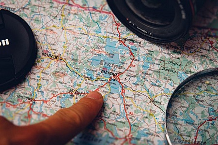
Finger pointing on Gi?ycko on a map
A close-up shot of a finger pointing to the town of Giżycko on a colorful road map, with a lens cap and magnifying glass indicating travel planning
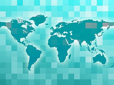
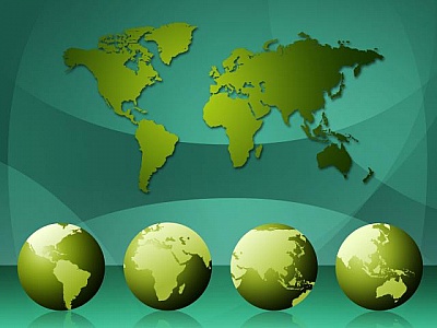
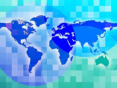
World Map Shows Background Globalization And Template
World Map Meaning Geographical Globalization And Abstract
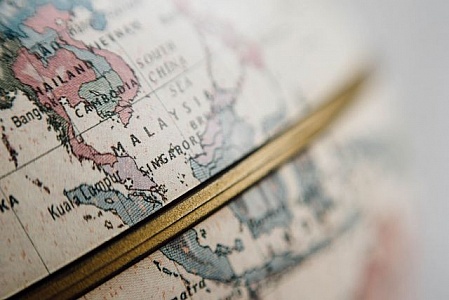
Close Up of a World Globe With Gold Border
This close-up shot showcases a world globe with a stunning gold border. The intricate details of the globes continents and oceans are enhanced by the luxurious gold frame that adds a touch of elegance.
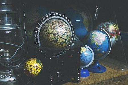
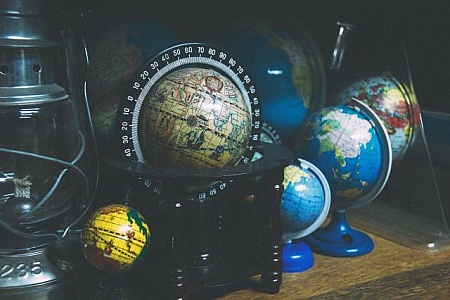
Assorted Globes Displayed on a Shelf
A variety of different types of globes are neatly arranged on a shelf, showcasing a range of geographical representations and designs. Each globe offers a unique perspective on the world.
Various colorful globes on wooden surface display shelf.
A diverse collection of colorful and vintage-themed globes displayed on a wooden surface. This image offers a nostalgic feel of exploration and education.
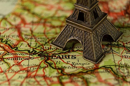
Small Eiffel Tower Model on Map
A small replica of the iconic Eiffel Tower placed on a map, showcasing the famous Parisian landmark on a geographical representation. The model is intricately detailed and accurately represents the structures design and architecture.
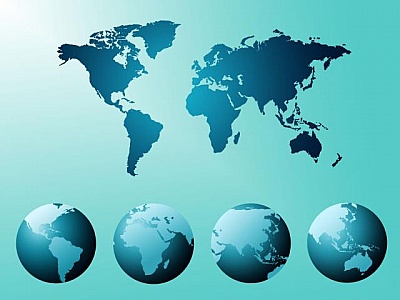
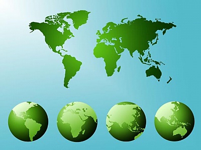
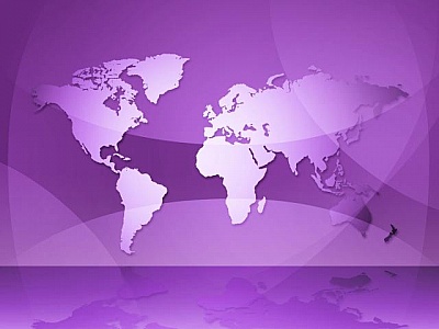
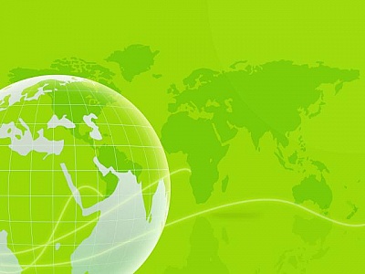
World Map Means Countries Global And Globalization
World Map Showing Globe Geography And Geographical
World Map Indicates Backgrounds Globalization And Globalise
World Map Representing Geography Geographical And Background
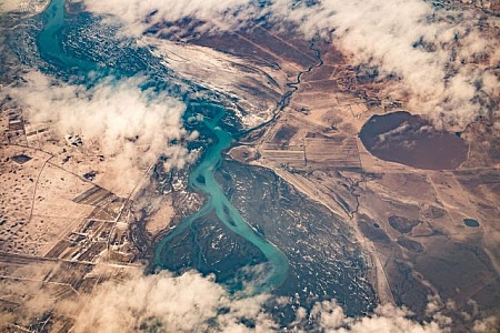
Aerial View of River and Surrounding Landscape
This aerial view captures a river winding through the landscape, flanked by patches of greenery and land. The meandering river cuts through the scene, creating a striking contrast between water and earth.
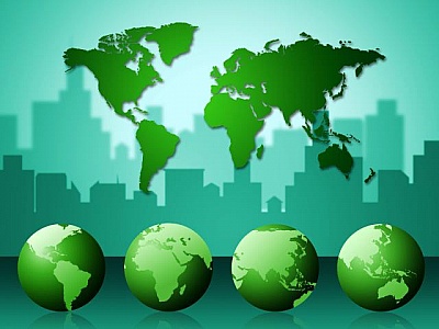
World Map Means Group Of People And Businessmen
Business People Representing Office Countries And Together
Business People Represents World Map And Businesspeople
World Map Showing Group Of People And Business Team
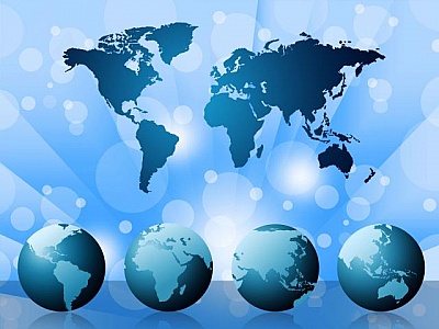
World Map Means Cartography Globalization And Continents
World Map Representing International Geographical And Template
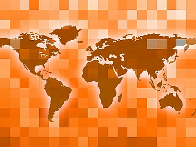
World Map Indicates Globe Countries And Backdrop
World Map Meaning Backgrounds Globalization And Cartography
Persons Hand on Top of Map
A persons hand is seen resting on top of a map, indicating location or planning a route. The map features various geographical details and markings, suggesting travel or exploration.
Detailed vintage map focusing on Iceland s geographical outline.
A highly detailed, close-up view of a vintage globe highlighting Iceland s geographical outlines, cities, and major landforms, showcasing its unique location in the North Atlantic.
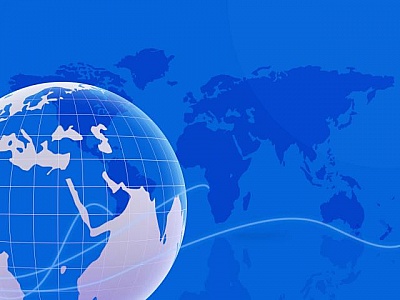
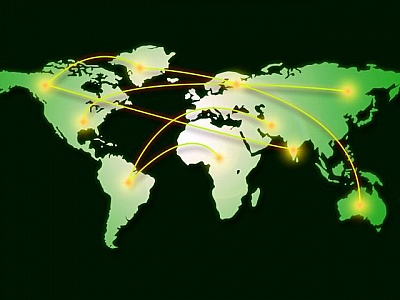
World Map Represents Computer Network And Cartography
World Map Showing Lan Network And Geographical
World Map Represents Abstract Worldwide And Continents
World Map Indicating Geographical Countries And Abstract
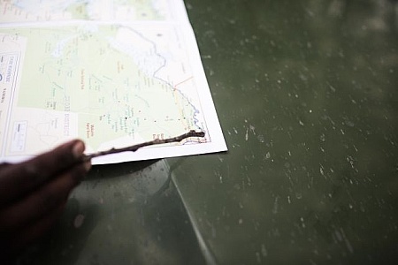
Person pointing a stick at a detailed map on a table surface
A person uses a stick to point at a detailed map placed on a table surface, perfectly capturing the elements of exploration, planning, navigation, and a strong sense of curiosity and adventure in the cartographic details in the image
World Map Indicates Worldwide Geography And Continents
World Map Showing Worldwide Design And Backdrop
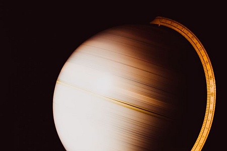
Spinning globe on dark background with measure tool
A spinning globe in motion, captured in a photograph with a dark background, showing blurred details and a gold measure tool indicating geographical exploration and learning.
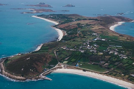
Aerial View of Island in the Middle of Ocean
An aerial view of an island surrounded by the vast expanse of the ocean. The island appears to be untouched by human presence, with lush greenery covering its surface.
World Map Indicates Countries Backdrop And Template
World Map Representing International Cartography And Abstract
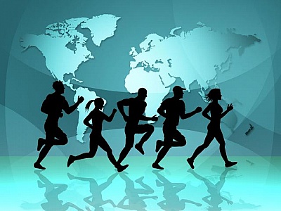
World Map Indicates Get Fit And Cartography
World Map Meaning Get Fit And Exercise
Map Background Shows Atlas Countries And Earth
Map Background Showing Atlas Countries And Earth
Vintage globe highlighting North America and Canada map.
A vintage globe centered on North America and Canada, showing detailed political borders, states, and provinces, depicted with historical and geographical accuracy.
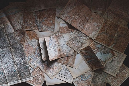
Vintage Maps
View of pages of geographical map on ground
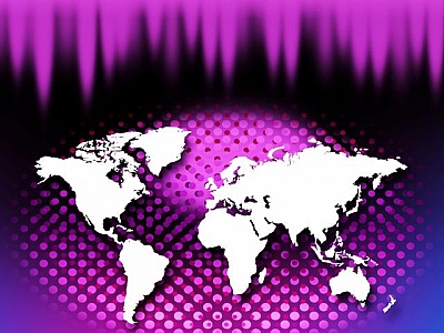
World Map Indicates Design International And Worldwide
World Map Showing Globalization Worldwide And Backgrounds
World Map Indicates Globalization Continents And Backgrounds
World Map Representing Countries Design And Backdrop
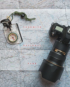
Compass and Camera
Overhead view of camera with lens and compass on geographical map
World Map Represents Geographical Continents And Template
World Map Showing Geographical Globe And Globalization
World Map Indicates Cartography Template And Countries
World Map Showing Cartography Design And Countries
World Map Indicates Abstract Template And Countries
World Map Meaning Globalization Earth And Globalize
Find even more royalty free stock photos from the world's best photographers
View
of
1
Try your search on Shutterstock: