Log in
Email
Password
Register
Menu
Explore
Newest photos
Popular photos
Contribute
Submission guidelines
Photographer signup
Photographer login
About
About Freerange
Image license
API
Contact us
Support
Contact support
FAQ
Login
Login
Register
Search all
Photos
Illustrations
Match All
Match Photo ID
Newest
Popular
Select Category
AI Generated
CC0 Images
Editorial and News
Animals & Insects
Architecture
Architectural Details
Arts & Music
Backgrounds & Textures
Cities and Modern Life
Business & Office
Flowers and Plants
France
Food & Drink
Holidays & Occasions
Health and Fitness
Landmarks
Interiors
Illustrations
Industry & Agriculture
Landscapes & Nature
Letters and Numbers
Objects
Other
Military
People
Signs & Symbols
Sky and Clouds
Space
Sports & Recreation
Technology
Wallpapers
Free Stock Images
Sponsored images from iStock
View footage results
Click to save 15% sitewide with code
FREERANGE15
View More
81 free gps photos from Freerange
Filter results
Popular
Most Viewed
Newest Photos
All licenses
Freerange
CC0
Photos & Illustrations
Photos
Illustrations
Per Page
25
50
100
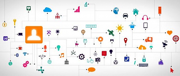
Internet of Things II - Multicolor version
Internet of Things II - Everything connected in the new world order - Multicolor version
Marker Icon - Green Communication
Marker Icon - Green Communication
Smartphone on hands with app icons - Information technology conc
Smartphone on hands with app icons - Information technology concept
Like an organic being - Internet of Things concept - Colorful ve
Like an organic being - Internet of Things concept - Colorful version
Analysis of Details - Abstract Design Alternate
Analysis of Details - Abstract Design version 2
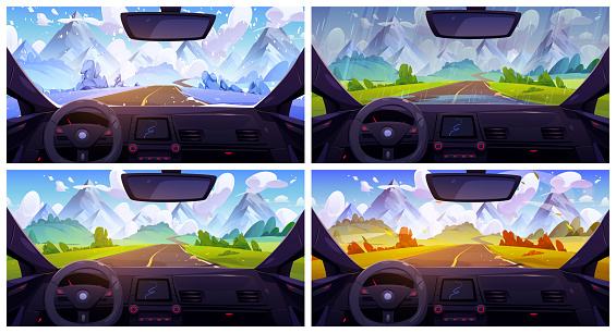
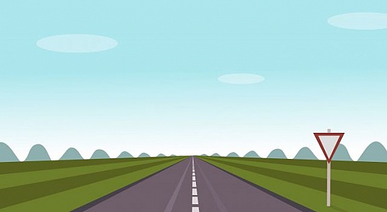
Life is a Highway - Concept with Copyspace
Life is a Highway - Concept with Copyspace
Compass vector icon
Compass vector icon of blue color on blue background
Bright Radar Display - Airplane Traces on Target - GPS - Tracki
Bright Radar Display - Airplane Traces on Target - GPS - Tracking Flights
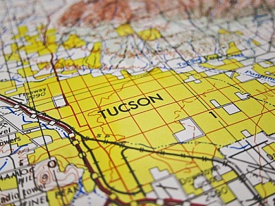
Tucson Map
Tucson on a map
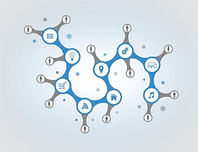
Like an organic being - Internet of Things concept
Like an organic being - Internet of Things concept
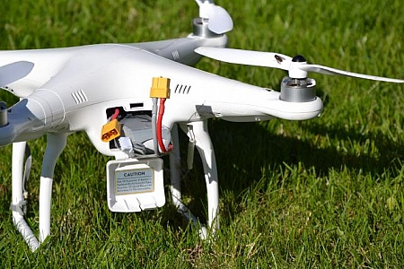
Drone with battery
Recreational drone DJI Phantom 1 wit battery compartment opened.
Bus Gps Means Public Transport And Buses
Bus Gps Showing Location Direction And Distance
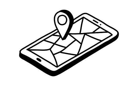
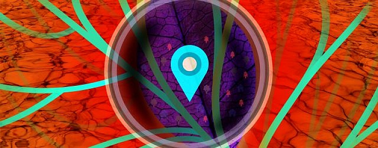
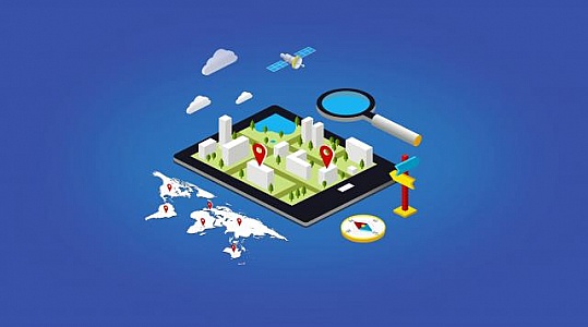
sharing location
Illustration of sharing location on mobile device mapping application with social network or individual.
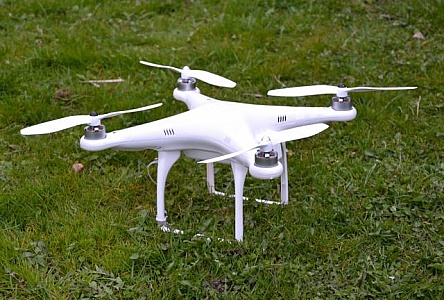
Recreational drone
Recreational drone DJI Phantom 1 on the ground.
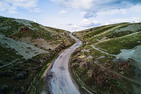
Aerial view of winding road through hilly terrain
Scenic aerial shot of a long winding road cutting through rolling hills and wild nature
Bus Map Shows Public Transport 3d Illustration
Bus Map Showing Public Transport 3d Illustration
Analysis of Details - Abstract Design
Analysis of Details - Abstract Design
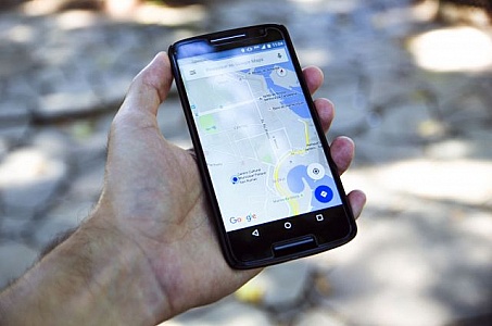
GPS on Android Phone
Man Hand holding and using GPS map navigation app on smartphone screen
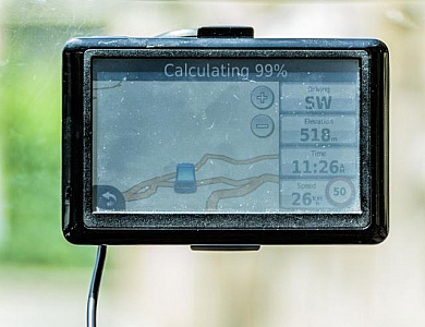
Car GPS
Automotive navigation system attached to car windshield
Unknown Territory - Rising Star Over Alien Land - Exploration Co
Unknown Territory - Rising Star Over Alien Land - Exploration Concept
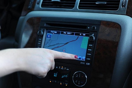
Built in navigation
The GPS inside a car showing a map. Someone is pushing a button on the touch screen.
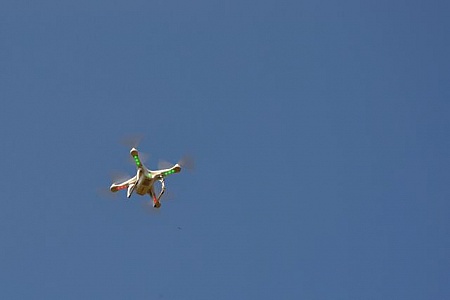
Quadrocopter
Quadrocopter at flight
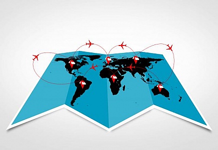
Air travel and logistics concepts - Sky routes across the contin
Air travel and logistics concepts - Sky routes across the continents
Mobile GPS Navigation and Apps - Travel and Tourism Concept
Mobile GPS Navigation and Apps - Travel and Tourism Concept
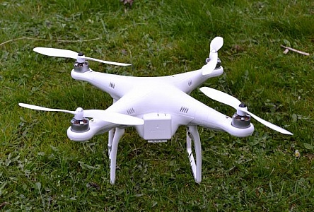
UAV
Recreational drone DJI Phantom 1
Find even more royalty free stock photos from the world's best photographers
View
of
4
Try your search on iStock: