Log in
Email
Password
Register
Menu
Explore
Newest photos
Popular photos
Contribute
Submission guidelines
Photographer signup
Photographer login
About
About Freerange
Image license
API
Contact us
Support
Contact support
FAQ
Login
Login
Register
Search all
Photos
Illustrations
Match All
Match Photo ID
Newest
Popular
Select Category
AI Generated
CC0 Images
Editorial and News
Animals & Insects
Architecture
Architectural Details
Arts & Music
Backgrounds & Textures
Cities and Modern Life
Business & Office
Flowers and Plants
France
Food & Drink
Holidays & Occasions
Health and Fitness
Landmarks
Interiors
Illustrations
Industry & Agriculture
Landscapes & Nature
Letters and Numbers
Objects
Other
Military
People
Signs & Symbols
Sky and Clouds
Space
Sports & Recreation
Technology
Wallpapers
Free Stock Images
Sponsored images from iStock
View footage results
Click to save 15% sitewide with code
FREERANGE15
View More
81 free gps photos from Freerange
Filter results
Popular
Most Viewed
Newest Photos
All licenses
Freerange
CC0
Photos & Illustrations
Photos
Illustrations
Per Page
25
50
100
A collection of IT communication and multimedia icons vector
A collection of IT communication and multimedia icons vector on cream background
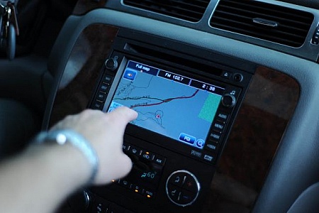
Built in GPS
Someone points at the map on the screen of this built in navigation system.
Phantom drone
Recreational drone DJI Phantom 1
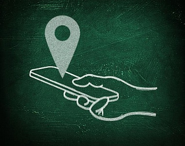
Location with virtual gps maps - Chalkboard drawing with smartph
Location with virtual gps maps - Chalkboard drawing with smartphone in hand
Mobile GPS Navigation and Apps - Travel and Tourism Concept
Mobile GPS Navigation and Apps - Travel and Tourism Concept
Compass vector icon
Compass vector icon of blue color on white background
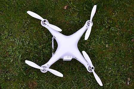
Quadrocopter
Quadrocopter at flight
Speech bubbles above the city - Modern communication concept
Speech bubbles above the city - Modern communication concept
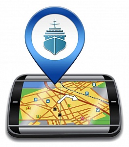
Port Location Represents Cruise Liner 3d Illustration
Port Location Representing Cruise Liner 3d Illustration
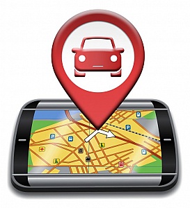
Car Gps Indicates Navigation Auto And Automobile
Car Gps Showing Automotive Drive And Navigation
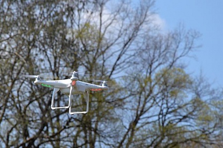
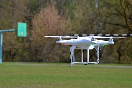
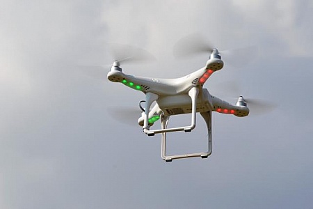
Flying drone
Flying recreational drone DJI Phantom 1.
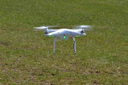
Quadrocopter
Quadrocopter at flight
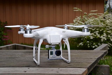
Quadrocopter with photo camera
Quadrocopter Phantom 1 with Hero 3+ photo camera (logos removed).
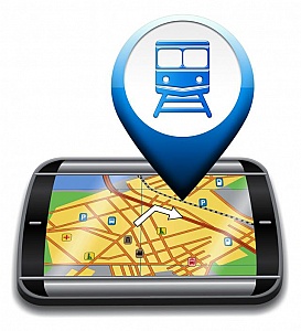
Railway Station Gps Represents Rail Direction And Journey
Railway Station Gps Map Represents Rail Direction And Journey
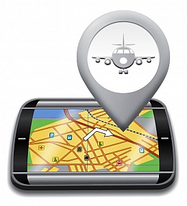
Airport Gps Shows Landing Strip 3d Illustration
Airport Gps Device Shows Landing Strip Map 3d Illustration
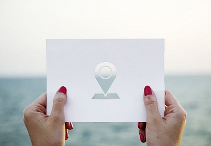
A woman s hands holding a location sign shaped paper cut out tem
A woman s hands holding a location sign shaped paper cut out template with ocean in the background
Quadrocopter
Quadrocopter at flight
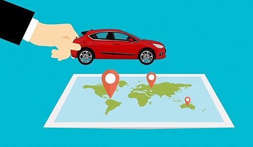
trip map
Illustration of car and map
Bright Radar Display - Traces on Target - GPS - Tracking Flight
Bright Radar Display - Traces on Target - GPS - Tracking Flights
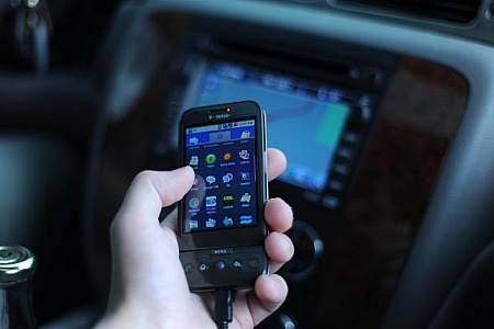
Cell phone menu
The menu on a touch screen cell phone. In the background is a blurry GPS system built into a car.
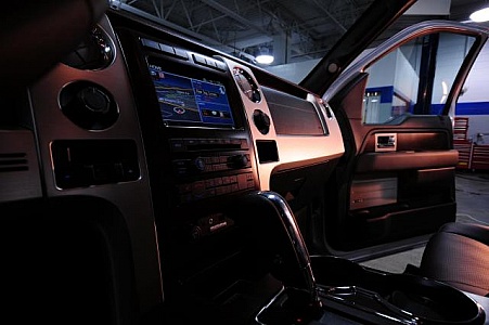
Truck interior
The interior of a truck, showing the GPS navigation system, the shift stick, glove compartment, passenger seat and door.
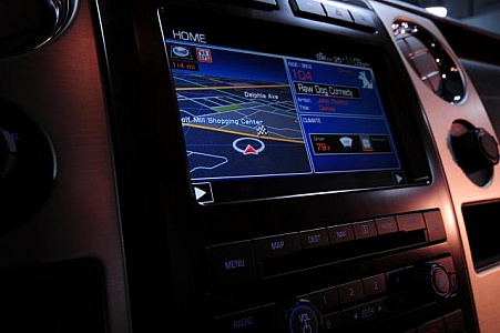
Navigation system
The screen of a GPS navigation system with half of the screen dedicated to music and weather information.
Heliport Gps Represents Helicopter Transportation And Navigator
Heliport Gps Representing Helicopter Transportation And Navigator
mobile device over map
hand holding mobile device over map of the world
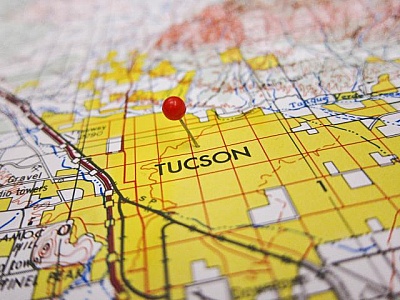
Tucson Map
a red pin on a map over tucson
Find even more royalty free stock photos from the world's best photographers
View
of
4
Try your search on iStock: